L’articolo è stato aggiunto alla lista dei desideri

LIBRO INGLESE

 E-mail
 Facebook
 LinkedIn
 Twitter
 WhatsApp
Great War from the Air: Then and Now
(0)
Cliccando su “Conferma” dichiari che il contenuto da te inserito è conforme alle Condizioni Generali d’Uso del Sito ed alle Linee Guida sui Contenuti Vietati. Puoi rileggere e modificare e successivamente confermare il tuo contenuto. Tra poche ore lo troverai online (in caso contrario verifica la conformità del contenuto alle policy del Sito).
Grazie per la tua recensione!
Tra poche ore la vedrai online (in caso contrario verifica la conformità del testo alle nostre linee guida). Dopo la pubblicazione per te +4 punti ![]()
24,06 €

-5%
25,33 €
+240
punti
Venditore: IBS
Articolo acquistabile con Carta del Docente

Articolo acquistabile con Carta Cultura Giovani e Carta del Merito

Dati e Statistiche
 Salvato in 0 liste dei desideri
Great War from the Air: Then and Now
Disponibile in 5 giorni lavorativi
24,06 €
-5%
25,33 €
24,06 €
25,33 €
-5%
Disp. in 5 gg lavorativi

Great War from the Air: Then and Now
Libri in Inglese
Altri venditori
Prezzo e spese di spedizione

Venduto e spedito da IBS
24,06 €
Spedizione gratuita
Altri venditori
Prezzo e spese di spedizione
Venduto e spedito da IBS
24,06 €
Spedizione gratuita
Altri venditori
Prezzo e spese di spedizione
Tutti i formati ed edizioni
Promo attive (0)
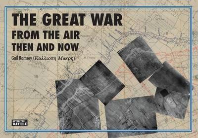
NOVEMBER 15, 2013 The war of 1914-1918 - the 'Great War' as it was called at the time -- left great swathes of northern France and western Belgium almost totally destroyed. The destruction wrought by shell-fire was immeasurable and the ground was churned into miles of waterfilled shell-holes. Complete villages had been razed to the ground and every forest blown to pieces. The former rich arable land had not only been pulverised but was now contaminated with the detritus of war. Trenches,dugouts,thousands of miles of barbed wire,abandoned equipment ,the smashed remains of hundreds of thousands of horses and men and the hidden threat of unexploded shells all created an indescribable landscape.In this book Gail Ramsey sets out to show how the Western Front has been transformed over the past hundred years by juxtaposing aerial photographs, trench maps of the period, with present-day matching comparisons, courtesy of Google Earth. Aerial photography was then in its infancy but it began in earnest in 1915 and thereafter became an essential tool to produce the trench mapping which has now made it possible to pinpoint the precise locations depicted in the photographs taken during the war. Places covered include: Houthulst, Vlamertinghe, Bailleul, Armentieres, Houplines, Wulvergem, Crete des Eparges, Hill 60, Souchez/Cabaret Rouge, Montauban/Carnoy, Hohenzollern Redoubt, Loos-en-Gohelle, Verdun, Sanctuary Wood, Maricourt, Hebuterne, Serre, Beaumont-Hamel, Delville Wood, Fromelles, Pozieres, Siegfried Line, Bellenglise, Agny, Thiepval, Mouquet Farm, Ginchy, Nuremberg Salient, Vermandovillers, Morval, La Bassee Canal, Haisnes, Givenchy-les-la-Bassee, Ornes, Fort de Tavanne, Vaux/Vauquois, Hindenburg Line, Fampoux, Vimy Ridge, Bullecourt, Wytschaete, Oosttaverne, Vierstratt, St Eloi, Spanbroekmolen, Zonnebeke, Passchandaele, Lens, Dury, Cherisy, Polygon Wood/Black Watch Corner, Bapaume, Kemmel, Soyecourt/Lihons, Gheluvelt, Bois de Malancourt, St Quentin Canal, Vigneulles and Dannevoux.
Leggi di più
Leggi di meno
Testo in English
Dimensioni:
216 x 305 mm
EAN:
9781870067812
L'articolo è stato aggiunto al carrello
L’articolo è stato aggiunto alla lista dei desideri